McKee Peak on the Air
McKee Peak on the Air
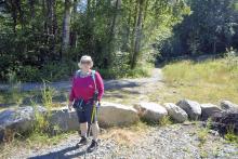
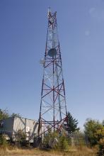
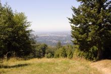
A lovely hike up an easy trail that is mostly in the shade! Today I hiked the almost 3km trail with my wifeCarolyn to visit the summit where I would activate the peak in the SOTA program. The trail follows the old access road to the small cell tower at the summit. It is quite heavily used by both hikers and bikers and there are many cross trails for added adventure. The summit being on the edge of town makes it a popular spot to enjoy the outdoors and get some exercise. This was my first visit so I was enjoying the new sights as they came. The summit itself has no view but there were a few spots along the trail that offered some good views of the Fraser valley.
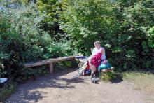
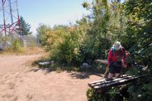
At the summit there is a small bench which proved very useful for setting up my small 2m station. I used my handheld with my portable yagi. the bench held the antenna and provided a convenient work table for logging. I was able to complete 7 contacts in a half hour period that we were at the summit. Numerous groups came by with several stopping to chat. My furthest contact was to a chap on Patos Island which is the northern most member of the San Juan Islands. He was a volunteer with the Keepers of the Patos Light society and he was manning it this week-end. THe return hike went quickly and soon we were relaxing in the Air-conditioning of our car.
See my personal site for morn details: https://www.scenicart.ca/content/mckee-peak

