Chehalis Peak Activated for SOTA
Chehalis Peak Activated for SOTA
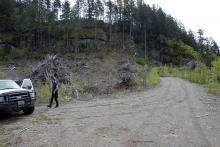
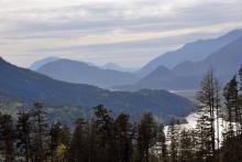
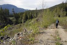
Though not very high, Chehalis Peak has no published route to the summit, so activating it would prove to be more of a challenge than most of the mountains I have attempted. This summit is located along the SW corner of Harrison Lake and looks down upon the town of Harrison Hot Springs. Geoff and scouted the access earlier this year so we knew that the western approach would be shorter than my original eastern one. We arrived a bit later than planned and got off to a rapid start along the logging road that I had originally planned to drive but due to a washout, it had to be hiked. We made decent time along the road and arrived at the point I thought would be the place to exit and start across the slope. It was indeed the best spot to cross and after examining the rock face before us we spotted a small gap to the south and so wee made our way across the slash to it.
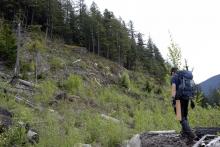
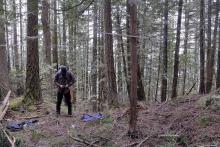
Climbing the gap wasn't too hard and then we entered the forest with little undergrowth so hiking through it wouldn't bee too hard, or so we thought. We next saw another rock face before us. This one took more work to find a route across and took much more work climbing a moss covered steep talus field. We then had a moderate slope to traverse but soon we arrived at the summit. It was a broad area with heavy tree cover. The actual marked location was in a dip so we picked a spot to the west of it and setup camp. I had my 2m Yagi latched to a tree quickly and had my first contact at 1:50pm. two morefollowed in quick order but then the band was dead except for repeater traffic. I tried getting a few guys on the repeater to call me on simplex but though I could hear them, I wasn't heard. As 3pm came and went I was getting a bit frantic to get the fourth contact needed to activate the peak. Eventually I switched over to the 4x4 enthusists frequency and made some calls. Eventually a drive answered back and I had my fourth contact.
As it was after 3 we decided to head back. Packing up went quick and soon we were following our route back down the ridge. We followed our GPS track and markers we had placed on trees so the return went quite quickly compared to the ascent. The slog along the road seemed to go on forever in the heat but we did finally get back to the truck and a needed rest. So the summit is activated and we can start planning the next summit.
A more detailed story and more photos can be found at this link: http://www.scenicart.ca/content/chehalis-peak

